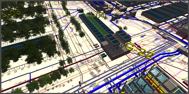


GEORADAR 3D underground infrastructure modeling it is unique in global scale technology of identification all pipes, cables, old basements, stones, wholes, underground water lakes, ect.
Modeling 3D of georadar tests (and other underground tests) allowed for perfect identification of all elements in quality below 10 centimeters, up to about 1 centimeter.
3D modeling can support architects, engineers, construction machines operators and many other people of construction team.
…..

.